
Around 8,000 years ago, an underwater landslide whipped up one of the biggest waves the UK has ever seen. Discover what happened next…

Imagine you've travelled back in time 8,000 years or so. You're on a dinghy, somewhere in the North Sea.
You don't realise it, but you're in a region known as Doggerland.
Doggerland used to be a land bridge, but right now – in 6200 BC – it's a series of islands that sit in the middle of the sea between Britain and Scandinavia.
You're having a quiet time of it, stopping whenever you need along the scattered oases. Until, that is, your dinghy – despite a crystal clear sky – begins to bob violently.
Could it be a storm? Another boat? An animal bumping into your dinghy? You look around to no avail. And yet the waves get choppier.
You stop on a sandy outcrop with plenty of shade, tie your boat to the nearest tree and wait. You don't have to wait long for an explanation.
Out in the distance, a huge tidal wave is headed for Doggerland and the rest of Britain. It is massive. It is composed of three waves, in actuality, fated to obliterate the sandy shores on which you stand.

Thankfully, you can hop back into your portable time machine and escape to the safety of the present day. But the prehistoric residents of Britain weren't so lucky.
You've just witnessed the results of the Storegga Slide – an event that would completely destroy Doggerland and change the face of coastal Britain forever.
What was the Storegga Slide?
Around the year 6200 BCE, for reasons that are still up for speculation, a huge pocket of land sunk deep into an ocean trench in the North Sea.
This phenomenon is analogous to (but not the same as) a sinkhole caving in. If this happens underwater, the water that's above the land also sinks.
When this happens rapidly, Newton's Third Law of Motion kicks in – an aftereffect occurs on the surrounding water, causing much of it to move as well. All this gravitational potential energy has to go somewhere, so a tidal wave or even (in this case) a tsunami is created.
This creates waves that project outward in all directions, and their intensity and longevity can vary. In some cases, entire ocean basins can be sprawled by a tsunami of enough energy.
This event had an enormous effect on the areas adjacent to the North Sea – and the evidence can still be seen today.
But how do scientists find out about a tsunami that occurred before written records?
First, the destruction of Doggerland can easily be traced to periods based on skeletal evidence. Scientists can look at the types of mammal skeletons found at the bottom of the trenches that lie between Britain, Iceland, and Norway.
Mammoth skulls, which date to the same period as the Storegga Slide, are frequently
found by trawling fishermen. These and other specimens verify that a land bridge was created and then flooded around this time.

Second, tsunamis change the topography of a devastated area. The changes will be small since tsunamis are a mere blink on the timeline of geological progress. So, a slim layer of soil abnormalities can be traced to this time in the areas around the coasts.
These new layers are unique to what are known as runup and flood zones. We'll get to these later.
Finally, tsunamis devastate the inhabitants of the areas they affect – especially when those inhabitants are mesolithic hunter-gatherers.
People now, thanks to organizations like the
NOC, have a heads-up of possibly a few hours when an event like this occurs. But in prehistoric times, people would have merely seen the wave and had no time to evacuate.
So, some evidence may exist in migration patterns and the destruction of coastal villages. Though, we should note, no such evidence has yet been discovered from the Storegga Slide. Current research suggests that inhabitants merely rebuilt any coastal settlements shortly after the devastation.
What destruction was caused?
There are a couple of ways you can find out how destructive an ancient tsunami was.
Based on geological records, you could merely look at areas where the topsoil was obviously altered around that time. This shows the extent of the flooding and gives clues as to how much impact it had.
But that's not really fun.
What would be more fun would be to know just how much land was bombarded by the actual wave.
We know that flooding and aftereffects on the tides would have lasted for weeks afterwards – and made things soggy, yes. But we want to know where the water landed. In other words, how much area can a tidal wave of a certain size cover as it spreads itself out during its crash?
Luckily, we paid attention in geometry. The unit circle can help us here. All we need to know is the height of the wave and the slope of the beach to get an estimate of how far a wave could crumple itself across a stretch of land.
So how long was that stretch of land? Well, it depends on the other estimates.
The shorter the tsunami wave – and the steeper the incline or slope of a beachhead – the less area the wave will cover.
The steepest beaches are eight degrees in slope. Couple this with the smallest possible estimate of the Storegga Tsunami (10 feet, which we know is unlikely, given the size of the actual landslide), and you get an expanse of 25 meters.
But we know this isn't accurate. The Storegga Slide was a massive event that caused massive waves.
So, the tallest estimates of tsunami waves come in around 100 feet, one order of magnitude larger than the lower estimates. This range is probably closer to the actual event, so we'll go with this.
Now, we can't know the slope of the beach thousands of years ago (thanks for being a buzzkill, erosion), but the
smallest it can be is about one degree. So, for fun, we'll assume that.
When entered into the equation for a unit circle, this yields slightly over one kilometre. Yikes!
So, people who were over one kilometre inland possibly still got hit with water and spray from the actual wave itself. And we can assume people on the beach would have been completely engulfed.
This area is known as the runup zone of a tsunami. Runup zones of over one kilometre rarely happen, which speaks to why this tsunami was able to completely obliterate a series of islands that were once a land bridge.
The flood zone of a tsunami, which builds over time as water rushes inland, is always much larger. The flood zone of Storegga, based on geological research, is likely over 18 kilometres. So, anyone living near the coast of the North Sea at this time almost certainly felt the impact.
What might have caused it
Again, the tsunami itself was caused by some kind of implosion of the seafloor somewhere deep in the North Sea. What could cause that much land to move all at once?
Two theories currently exist to explain the cause of the slide.
The first involves methane. Under certain pressure and temperature conditions, methane can form crystals with other compounds. This allows large pockets of solid methane to concentrate themselves underwater.
An earthquake could disrupt these conditions. This would cause the methane to instantly become gaseous, which then could yield a high-pressure gradient under the sea in a short period. In a way, it's like popping the world's largest balloon underwater.

The second theory involves sediment deposits.
During the latest ice age, about 10,000 years ago, glaciers moved soft peat across the Earth as the ice melted at the end of the age. This could have left a precarious amount of unpacked soil at the bottom of the North Sea.
Since the deposits were new, they hadn't yet been sufficiently packed down by water, gravity and pressure. This means they could easily have slid to a different surface with the slightest provocation.
That provocation could have been triggered by an earthquake, which could have shifted the floor enough to move the water and cause a tsunami.
Just in case you're worried about this ever happening again, the area of Storegga under the North Sea has been studied by some of the world's best geologists. They don't don't believe there's any risk of a similar event happening in the near future (which, in geological terms, means aeons!).
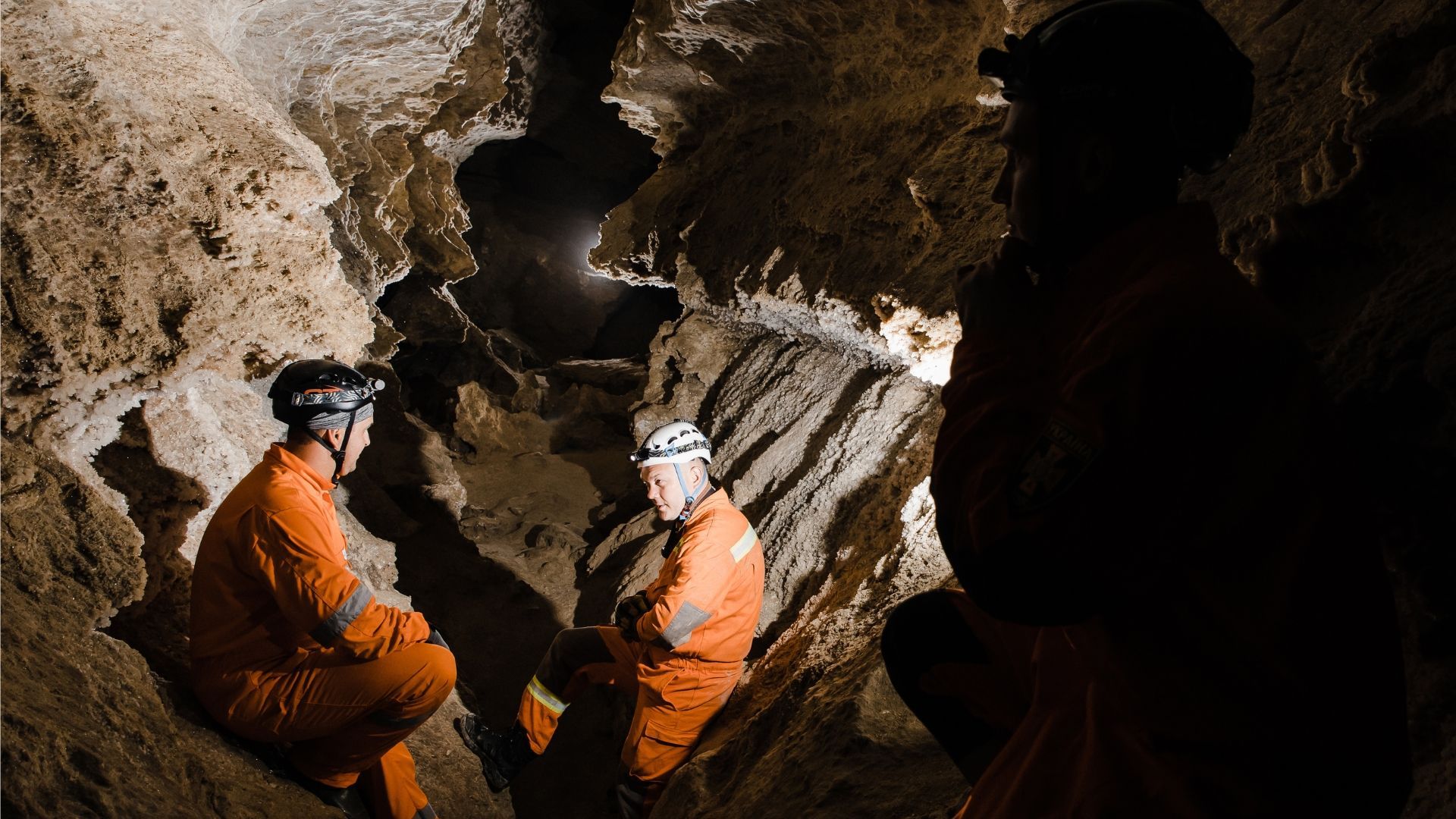
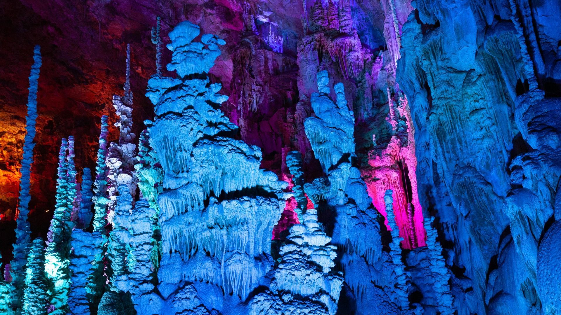
Do you love geology and the Stone Age? So do we! Here at Stump Cross Caverns, you can explore a genuine ancient cave system, as well as enjoying educational talks and events. Take a look at our calendar of
cave activities to see what's up next.


Stump Cross Caverns
Greenhow Hill
Pateley Bridge
Yorkshire
HG3 5JL
All Rights Reserved | Stump Cross Limited
Crafted with creativity and marketing savvy by My Digital Hero

Stump Cross Caverns
Greenhow Hill
Pateley Bridge
Yorkshire
HG3 5JL
01756 752780
enquiries@stumpcrosscaverns.co.uk


01756 752780
enquiries@stumpcrosscaverns.co.uk
All Rights Reserved | Stump Cross Limited
Stump Cross Caverns
Greenhow Hill
Pateley Bridge
Yorkshire
HG3 5JL